Outdoor CO2 Dataset (Raw) - Garraf
Overview
ZertiAir provides a downloadable dataset of continuous outdoor CO₂ measurements collected from sensors deployed in the Garraf region (ADQA). The dataset is accessible "as is" and contains time-series CO₂ observations suitable for independent analysis, research, and integration into external systems.
Dataset Features
Access Type
Downloadable Dataset – "As Is"
The data is available for direct download without additional processing, allowing users to perform their own analysis and transformations according to their specific needs.
Dataset Contents
The dataset contains the following measurements and metadata:
| Field | Description | Type | Example |
|---|---|---|---|
| farm | Farm name (may be "Anonymous") | Alphanumeric | "Anonymous" |
| region | County or geographical region | Alphanumeric | "Garraf" |
| sensorId | Unique sensor identifier | Alphanumeric | "24E124126C143207" |
| co2ppm | CO₂ concentration in ppm | Numeric | 718 |
| sensorBatteryPercentage | Sensor battery percentage | Numeric | 95 |
| createdAt | Record date and time | Timestamp | "2025-11-07 20:52:33" |
Record Example
{
  "farm": "Anonymous",
  "region": "Garraf",
  "sensorId": "24E124126C143207",
  "co2ppm": 718,
  "sensorBatteryPercentage": 95,
  "createdAt": "2025-11-07 20:52:33"
}
Technical Features
Format and Structure
- Format: Normalized JSON
- Average Size: 214 KB
- Update Frequency: Monthly
- Region: Garraf (ADQA)
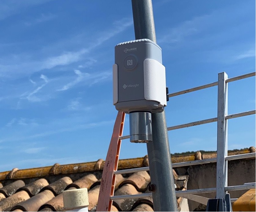
Capture Technology
- Sensors: Zertiair CO₂ IoT
- Protocol: LoRaWAN
- Certification: Certified devices for industrial/livestock environments
- Power: Optimized for continuous operation
Privacy and Anonymization
The dataset has been processed following strict anonymization protocols:
Applied Measures
- ✅ Removal of direct identifiers (owner names)
- ✅ Location generalization (county/region level)
- ✅ Exclusive use of non-personal technical identifiers
- ✅ GDPR and LOPDGDD compliance
Protection Level
The data is fully anonymized and is not considered personal data under the GDPR.
Use Cases
Scientific Research
- Air quality studies in livestock environments
- Analysis of temporal emission patterns
- Research on environmental impact of pig farming operations
Comparative Analysis
- Benchmarking between different regions
- Environmental conditions assessment
- Correlation studies with operational variables
System Integration
- Integration into environmental monitoring platforms
- Development of decision support tools
- Creation of customized dashboards
Environmental Boundary Condition
This dataset serves as a reliable environmental boundary condition that can be combined with other datasets for:
- Comprehensive environmental monitoring
- Comparative evaluation (benchmarking)
- Agricultural operations analysis
- Ventilation and production studies
Dataset Access
Unique Identifier
DID: did:ope:e025f68842f7d9d230df8752a4bd750a17e128cdeca78e3fa61baf16e46e8a5f
Direct Download
The dataset can be downloaded directly from:
Regulatory Compliance
This dataset complies with:
- ✅ Regulation (EU) 2016/679 (GDPR)
- ✅ Organic Law 3/2018 (LOPDGDD)
- ✅ Regulation (EU) 2022/868 (Data Governance Act)
- ✅ UNE 0087:2025 - Data Spaces
- ✅ Gaia-X Trust Framework
Support and Contact
For inquiries about the dataset, access, or integration: